KAMPALA, July 17-07-2026 - A SIM card seller has been sentenced to one year imprisonment…
Kampala Hosts ITU Workshop to Strengthen National Broadband Mapping

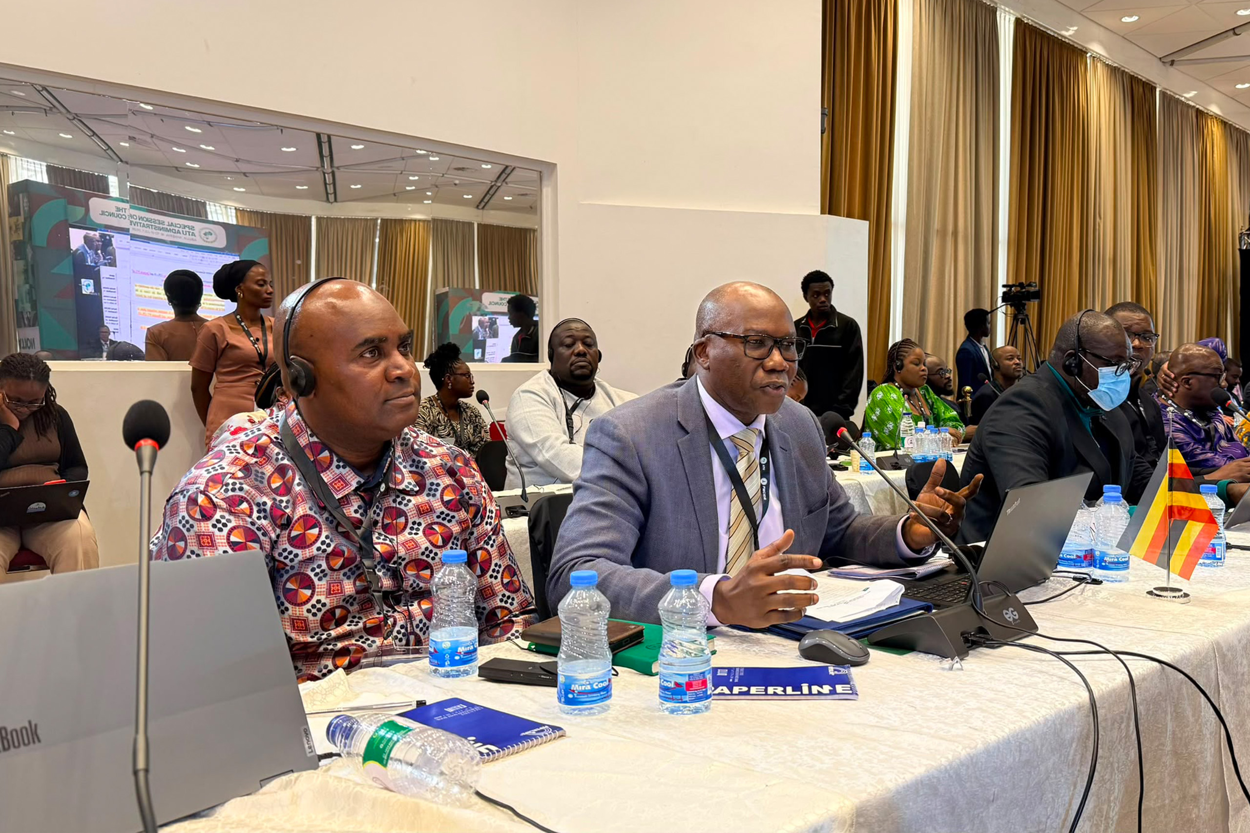
KAMPALA, 24 April 2026 – The International Telecommunication Union (ITU) last week concluded a five‑day sub‑regional Geospatial Information Systems (GIS) and Data Management training programme for selected African countries.
Geospatial Information Systems technology helps to collect, analyse, and visualise spatial data for planning, deploying, and managing internet infrastructure. It enables providers to identify connectivity gaps, map fibre routes, and visualise underserved areas.
Held from 20th to 24th April at Four Points by Sheraton in Kampala, the workshop was delivered under the Africa‑BB‑Maps initiative to strengthen national capacities for broadband mapping and data governance.
Participants from Kenya, Ethiopia, Uganda and Nigeria attended the practical, hands‑on course, which formed part of the project’s structured capacity‑building programme. Sessions focused on GIS fundamentals, broadband data management and harmonised approaches to national mapping systems, enabling institutions to produce and use granular geospatial data for evidence‑based planning and investment decisions.

Participants were taught how to organise, validate, and maintain spatial datasets; understand spatial data models and coordinate systems; and apply standard workflows for data processing, visualisation, and basic analysis. The training sessions emphasised data quality assurance and the production of accurate and consistent maps that can support national broadband mapping and informed regulatory decisions.
Launched in Kampala in September 2025, the Africa Broadband Maps Project is a four‑year programme funded by the European Union and technically implemented by the ITU. The project, which has been rolled out in 11 African countries; Benin, Botswana, Burundi, Côte d’Ivoire, Ethiopia, Kenya, Malawi, Nigeria, Uganda, Zambia and Zimbabwe, aims to map infrastructure and service coverage, identifying connectivity gaps and guiding targeted interventions.

Uganda’s connectivity landscape has seen notable growth, with over 18.5 million mobile broadband subscriptions as of December 2025. However, an estimated 7.5 million Ugandans remain unconnected, primarily in rural and hard‑to‑reach areas where affordability and infrastructure constraints persist.
The Uganda Communications Universal Service and Access Fund (UCUSAF) has already extended access through investment in more than 85 base stations in underserved areas and by connecting over 1,300 schools, 65 health centres and 100 public access centres to broadband.
The data and mapping tools developed through Africa‑BB‑Maps will enable regulators, policymakers and funders to target future investments more efficiently, ensuring resources are directed where they are most needed to accelerate digital inclusion.
Related Posts